Our Trails
3 Trail Systems to Explore
Over 53+ kilometers of maintained trails through diverse Manitoba terrain
Camp Hughes Trails
~20 km
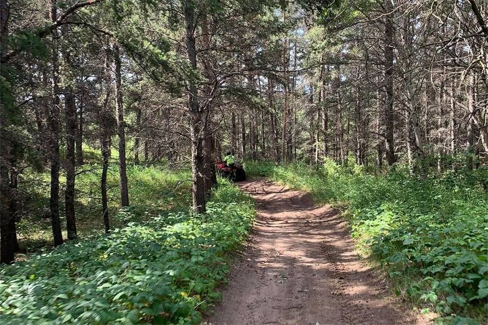
The north side of the highway has an abundance of treed, grassy rolling hills. The ground is mostly sand, which lets rainfall drain quickly, and the trails are easy to moderate — rolling hills and winding trail.
Features:
Terrain & Route:
On the south side of the highway, where Westman ATV maintains a designated trail, the terrain is a broad mixture of flat and rolling hills, easy to ride for every experience level. Ride off the maintained trail and you may encounter steep hills and side hills that can be difficult for inexperienced riders. Overall, a very beautiful area to explore.
Download the Camp Hughes Trails map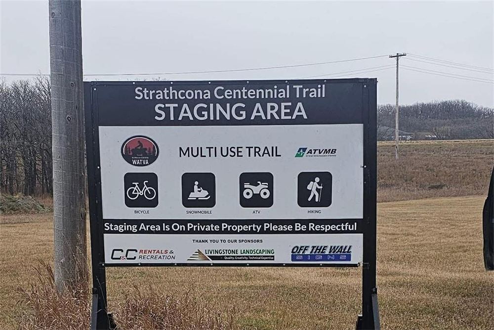
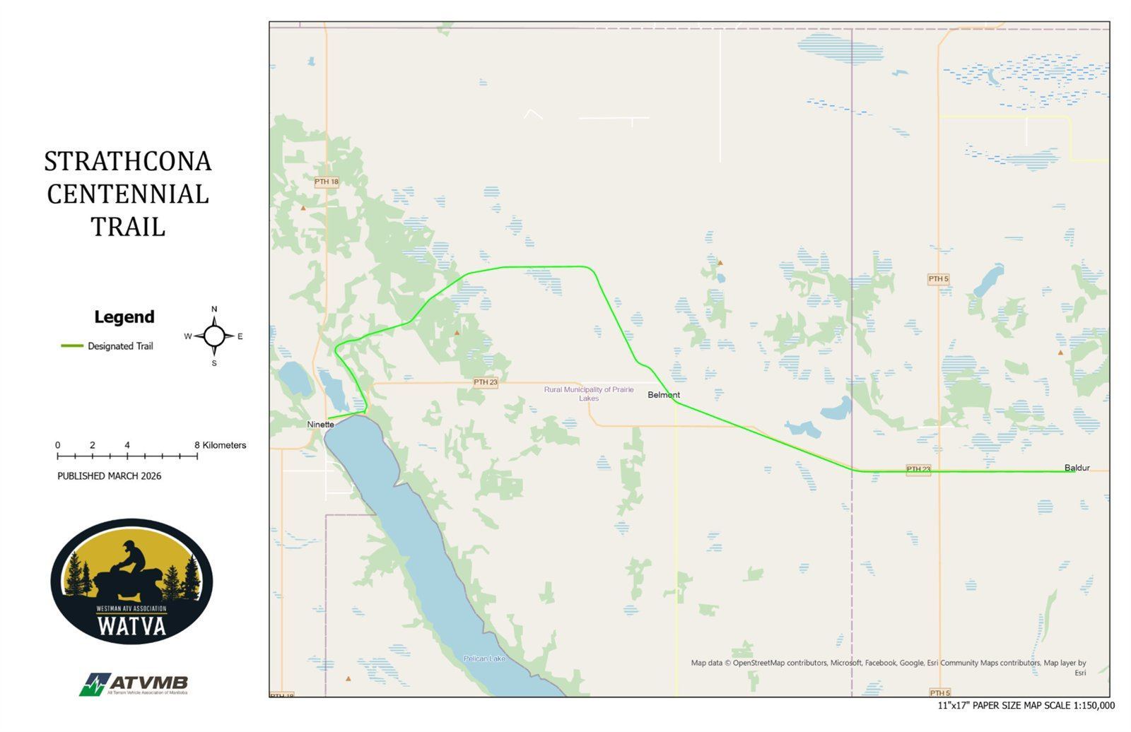
Strathcona Centennial Trail
35 km
An old rail bed running from Ninette to Baldur. It is a very easy trail to ride, with scenic views of rolling farmland the whole way.
Features:
Terrain & Route:
Packed gravel and flat the entire route, which makes it popular with hikers and cyclists as well as riders. Staging areas at both ends. Please be mindful of others and share the trail.
Download the Strathcona Centennial Trail map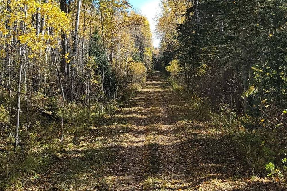
Mossberry Lake Trails
18.4 km
A multi-use back-country trail system in Duck Mountain Provincial Park, shared with horses, hikers and cyclists. It opens up back-country camping and fishing around West Blue, Ralph, George, Mossberry and Childs Lakes.
Features:
Terrain & Route:
Gently rolling country that ranges from stony to marshy, with beaver-flooded stretches and dams to cross — a few of them are a challenge on a machine. Check in and out with the campground staff at Blue Lakes or Childs Lake before you head out, and remember this is bear country.
Download the Mossberry Lake Trails mapTrail Maps
The same maps you will find on our trailhead kiosks — print one before you ride, or keep it on your phone.
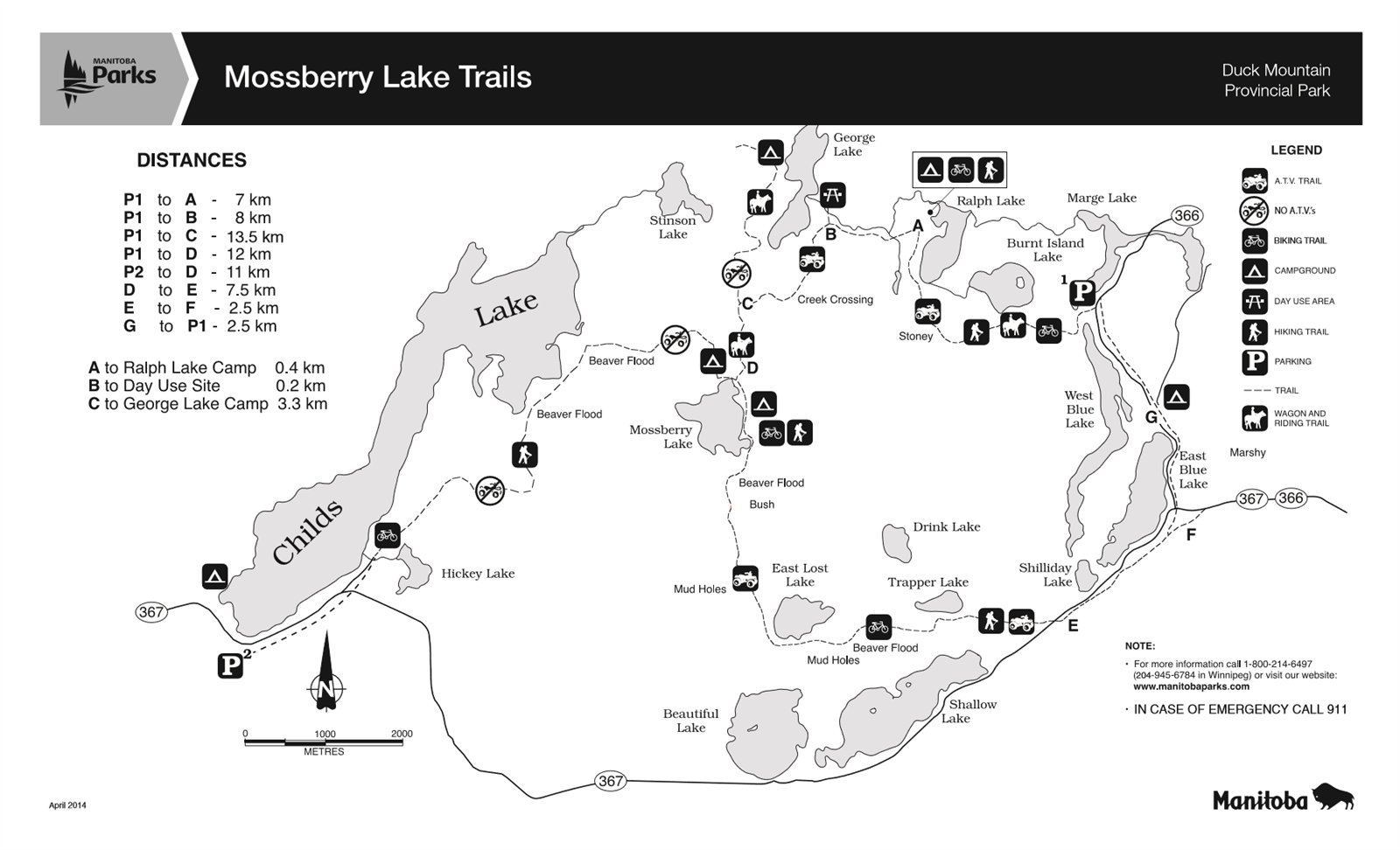
Mossberry Lake Trails
Manitoba Parks map · includes trail distances and full trail-use notes
Map courtesy of Manitoba Parks, Duck Mountain Provincial Park.
Download PDFKiosks on the trail
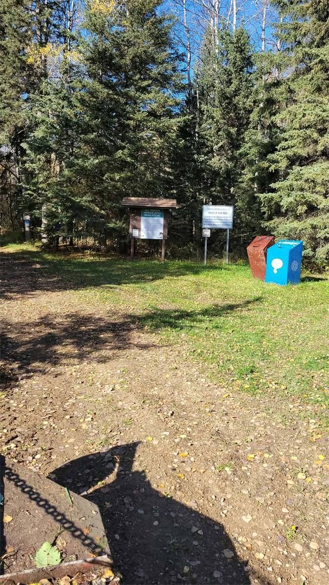
Information kiosks at our staging areas carry the full-size map, trail notices and the emergency information you may need.
Know your evac points
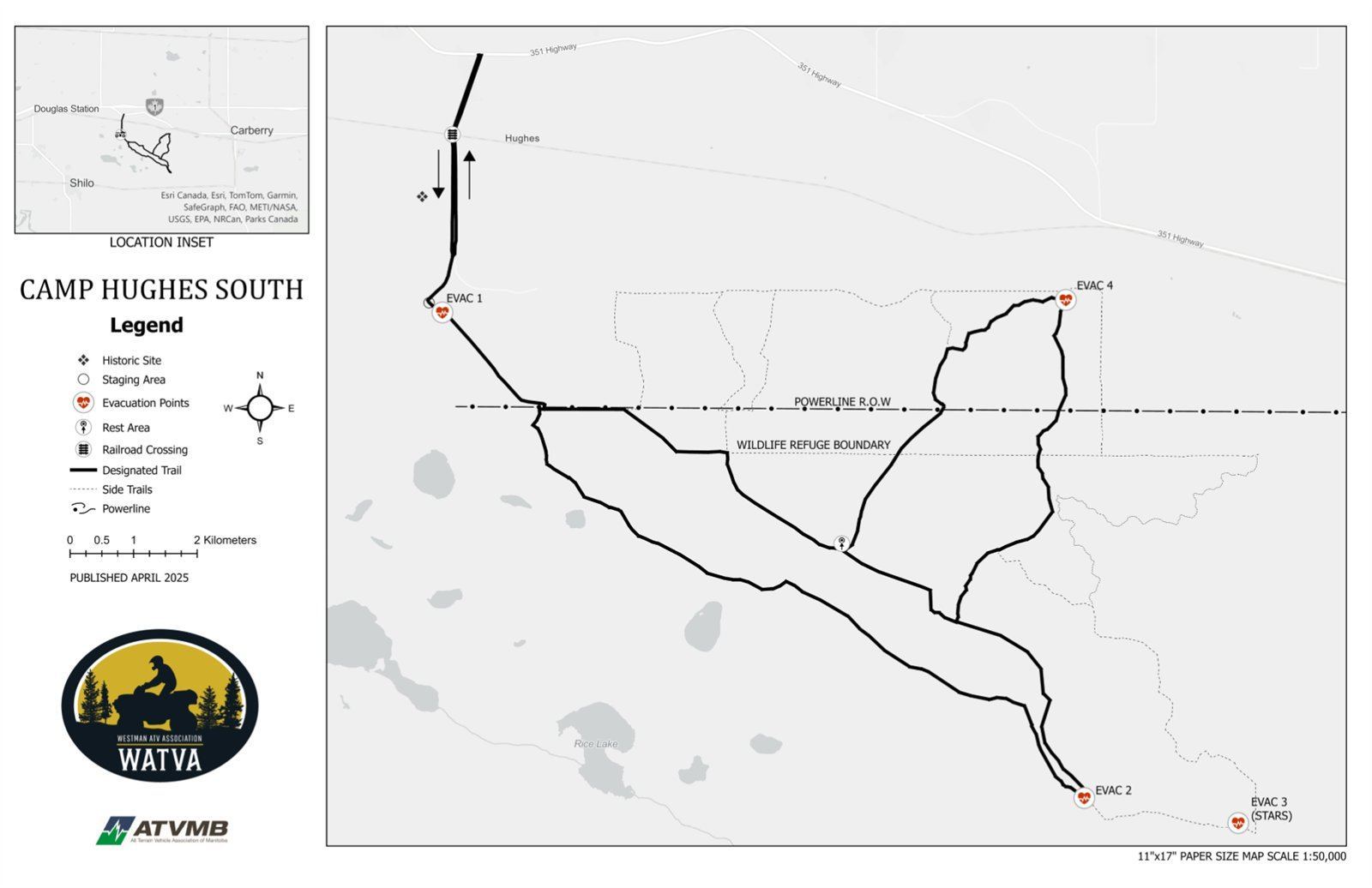
The Camp Hughes South map marks four evacuation points, including a STARS landing site. Worth a look before you head out.
Provincial trails
ATVMB maintains the province-wide trail map covering clubs across Manitoba.
Trail Etiquette
Help us keep our trails safe and enjoyable for everyone
Ride Legal
Our trails are free to ride and need no permit. The province's rules for your machine still apply — ATVMB keeps the current requirements.
Safety First
Always wear a helmet and appropriate safety gear. Ride within your abilities.
Respect Nature
Stay on marked trails. Pack out what you pack in. Leave no trace.
Be Courteous
Yield to other users. Keep noise levels reasonable. Respect private property.
Before You Ride
Our trails are permitted routes, signed and maintained by volunteers — and they are shared with hikers, cyclists and horseback riders. A few things worth having sorted before you load up:
- The ATVMB Trail Manual — the provincial guide to trail standards, signage and responsible riding. Download the PDF.
- A current trail map — grab the one for where you are riding. The Camp Hughes South map marks the evacuation points; the Mossberry map lists back-country distances.
- A road-legal machine — no club membership or trail permit is needed to ride here. The province's rules for registering and operating your machine still apply; ATVMB keeps the current requirements.
- Respect for the people around you — slow down for other trail users, stay on the marked trail, and pack out what you pack in.